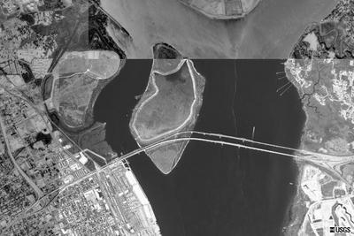
Terraserver (support@terraserver.com) readily gave me permission to use their 2 meter
(Oct 13, 2003)
resolution image of the construction site. In addition, I found imagery at
NASA's Gateway to Astronaut Photogrphay of
Earth.
I have sent email to
Spot Image in France, another source of satellite imagery.
My experience is that "front" doors
sometimes don't work as well as some "back" doors. So if any of you have some back door
contacts with satellite imagery groups -
send me
email with your information. I shall build a new page
of
satellite imagery with what we are able to locate. Thanksposted at: 23:55